Appearance
Creating a connection from GIS Services
Overview
Mapworks can be configured to display spatial raster data from a variety of web based GIS services.
Supported GIS Services:
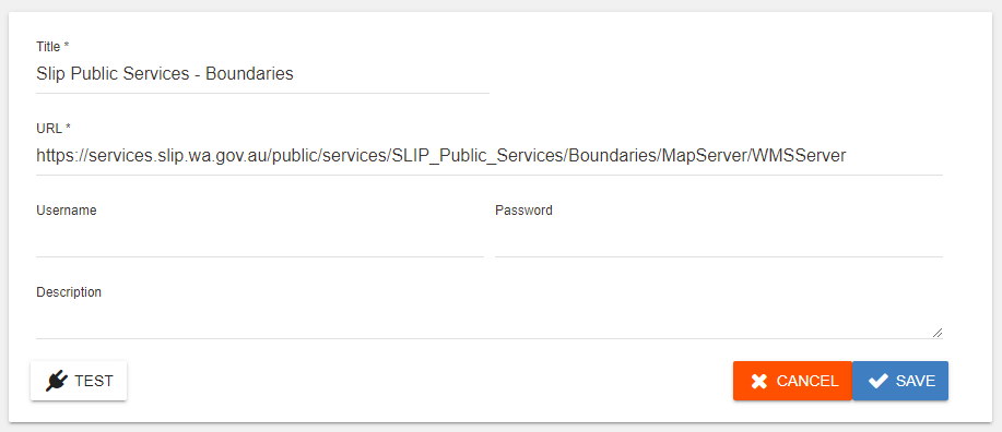
Create a connection from WMS
To create a WMS connection, click on the corresponding icon under the GIS Services header
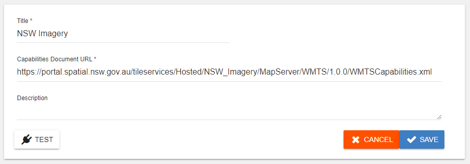
Create a connection from WMTS
To create a WMTS connection, click on the corresponding icon under the GIS Services header
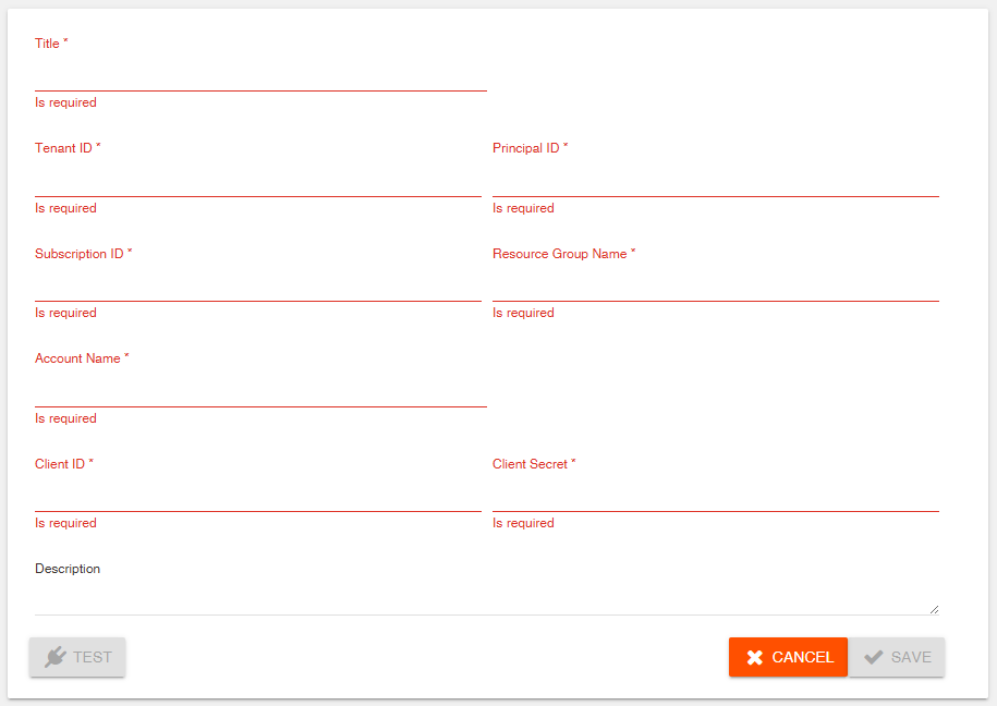
Create a connection from Azure Maps
To create an Azure Maps connection, click on the corresponding icon under the GIS Services header
Once a connection is established, datasets can be created from tables found inside.