Appearance
Creating a Connection
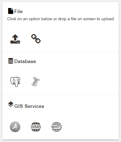
Connections provide the link within Mapworks to the underlying data source, whether that be database connection details, or provision via upload of a spatial data file.
Mapworks supports a variety of connection types and methods.
Supported connection types:
| File types | Database types | GIS Services |
|---|---|---|
| Shapefile | PostgreSQL | Web Map Service (WMS) |
| Geopackage | SQL Server | Web Map Tiles Service (WMTS) |
| File Geodatabase | Azure Maps Imagery Service | |
| GeoJSON | ||
| ArcGIS Map Package | ||
| Geospatial PDF |